Dendrochronology Project 2001-2004
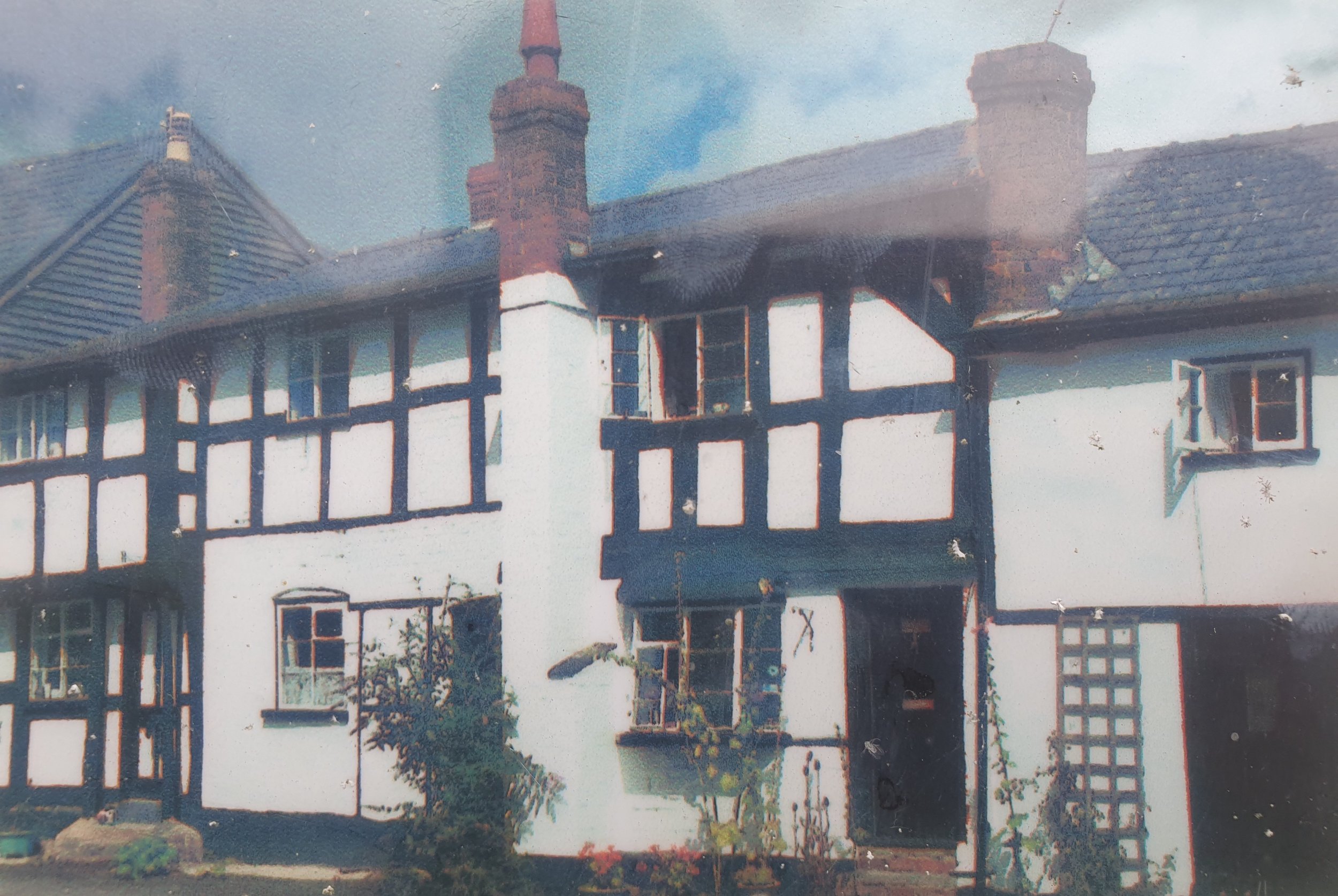
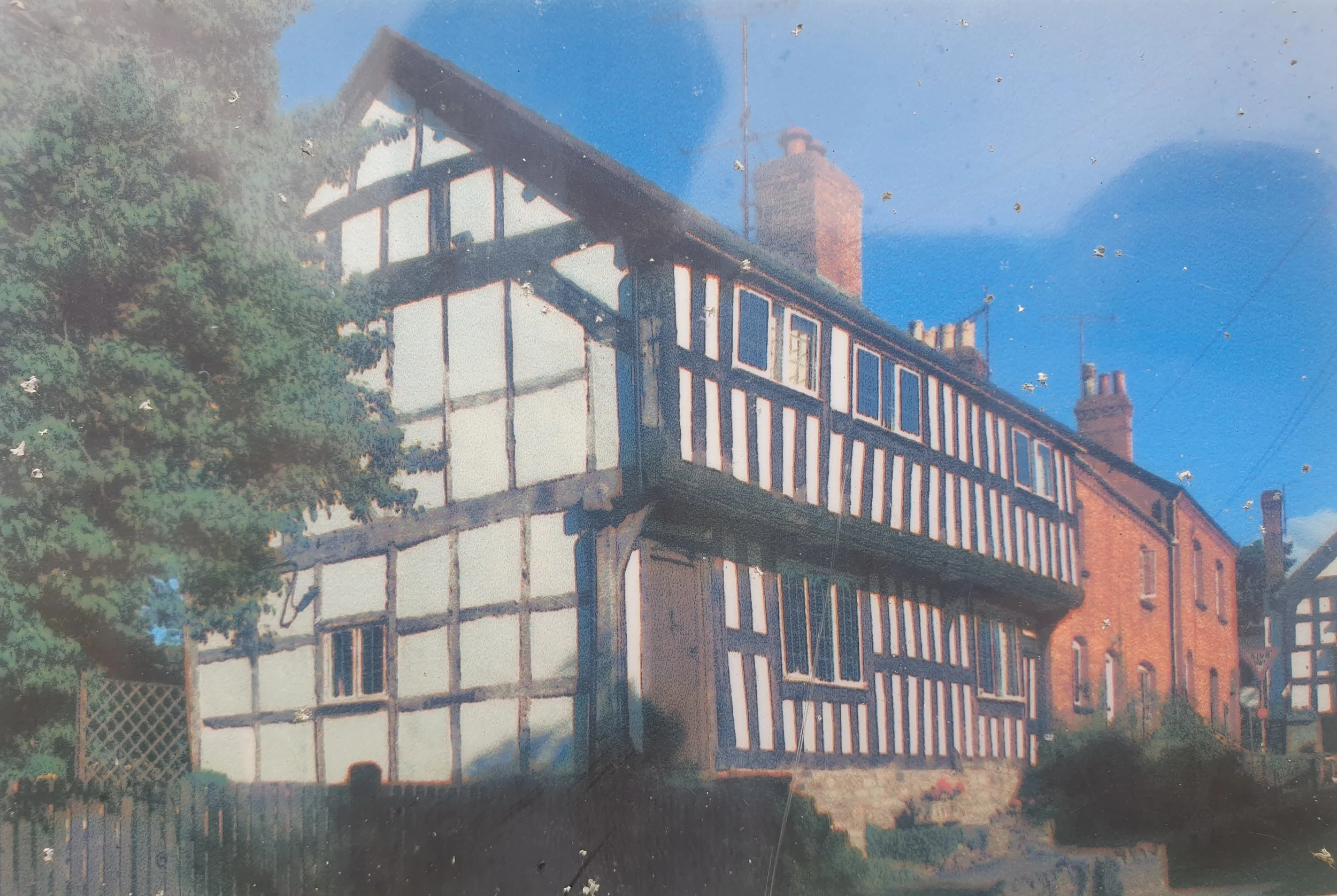
In 2001, historic research, followed where appropriate by dendrochronology (tree ring) analysis has been carried out on the most historic buildings in the village. This work has provided clear dating evidence for the 21 buildings illustrated with many more being inspected but proving unsuitable for dating. The dates given are the earliest recorded. The extent of this programme of work has meant that Pembridge now has the most buildings ‘dendro’ dated in the UK.
Dendrochronology carried out by Dr. Ian Tyers of Arcus Dendrochronology Laboratory, University of Sheffield.
Historic Building Research carried out by Duncan James, Insight…. Historic Buildings Research
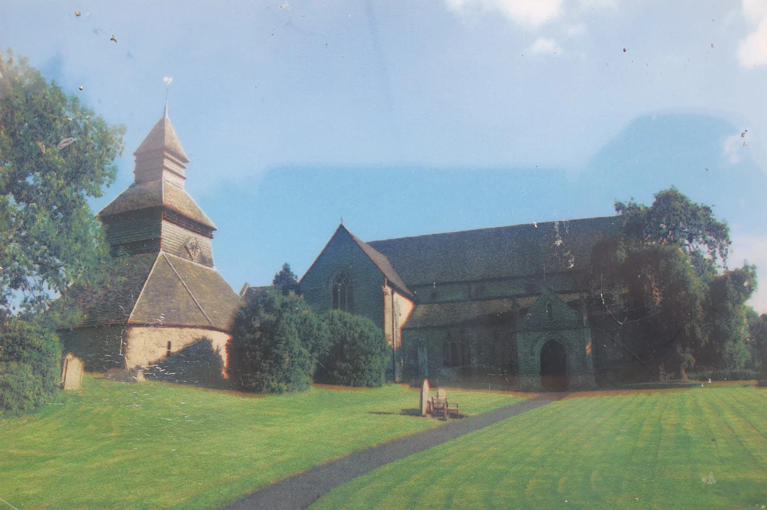
St. Marys Church Bell Tower, 1207-1214
3. West End Farm, Spring 1425
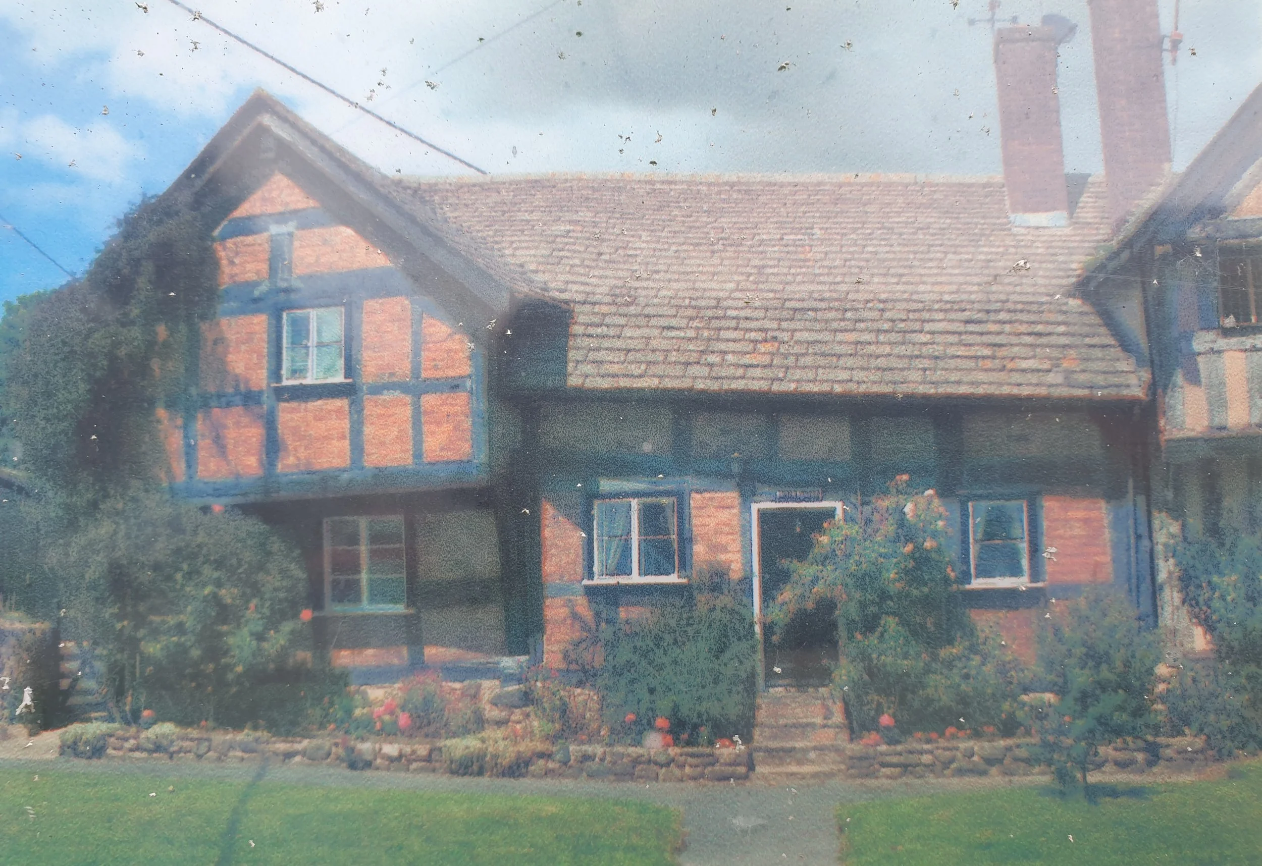
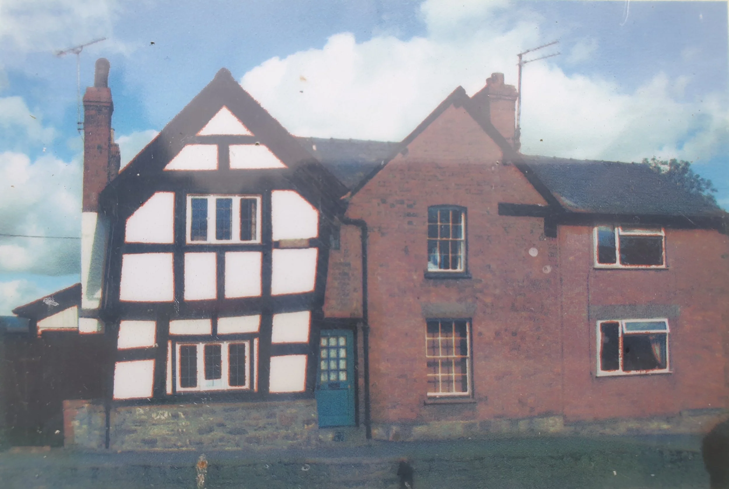
5. Brick House, 1446-1454
7. Wheelwrights, 1445-1481
9. The Garth, 1476-1495
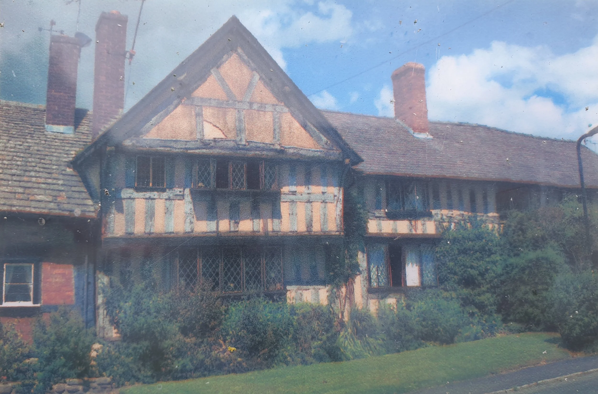
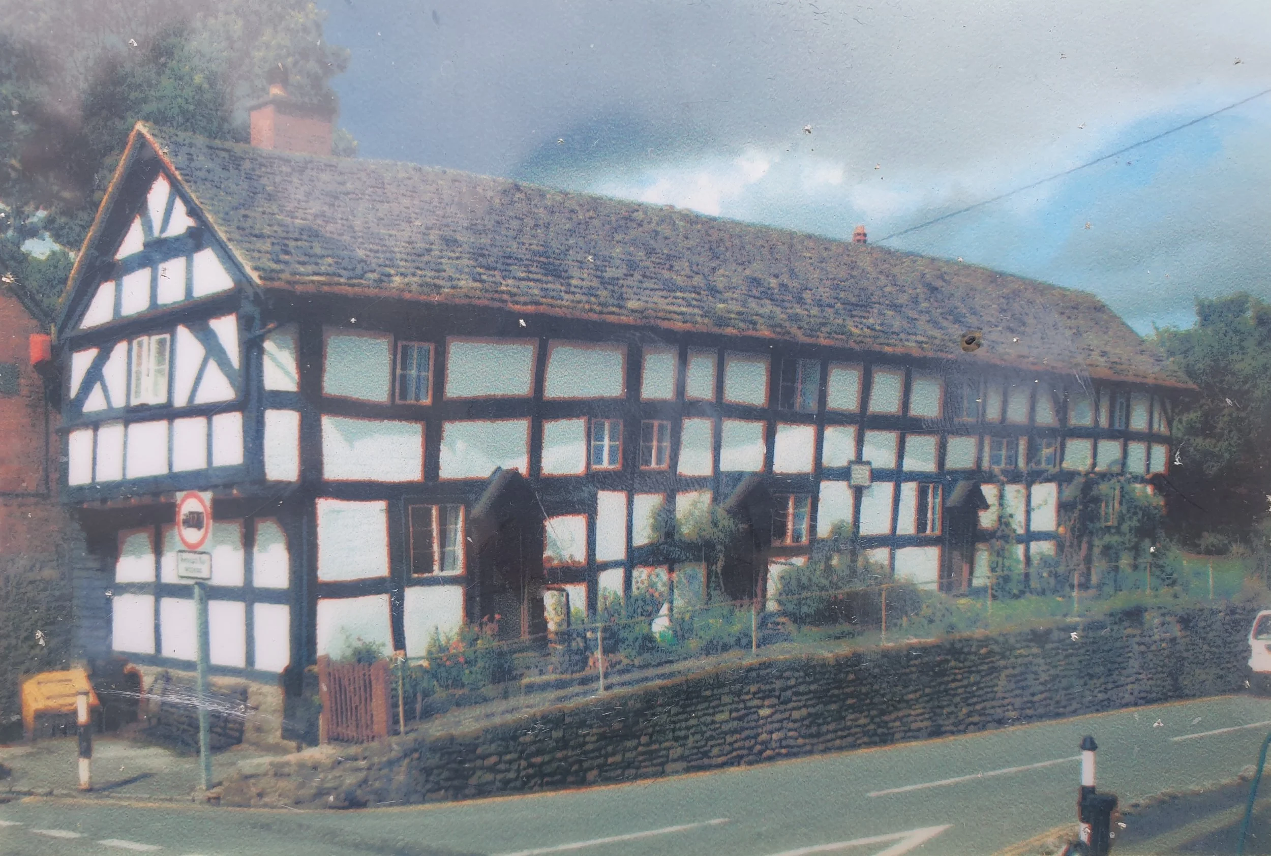
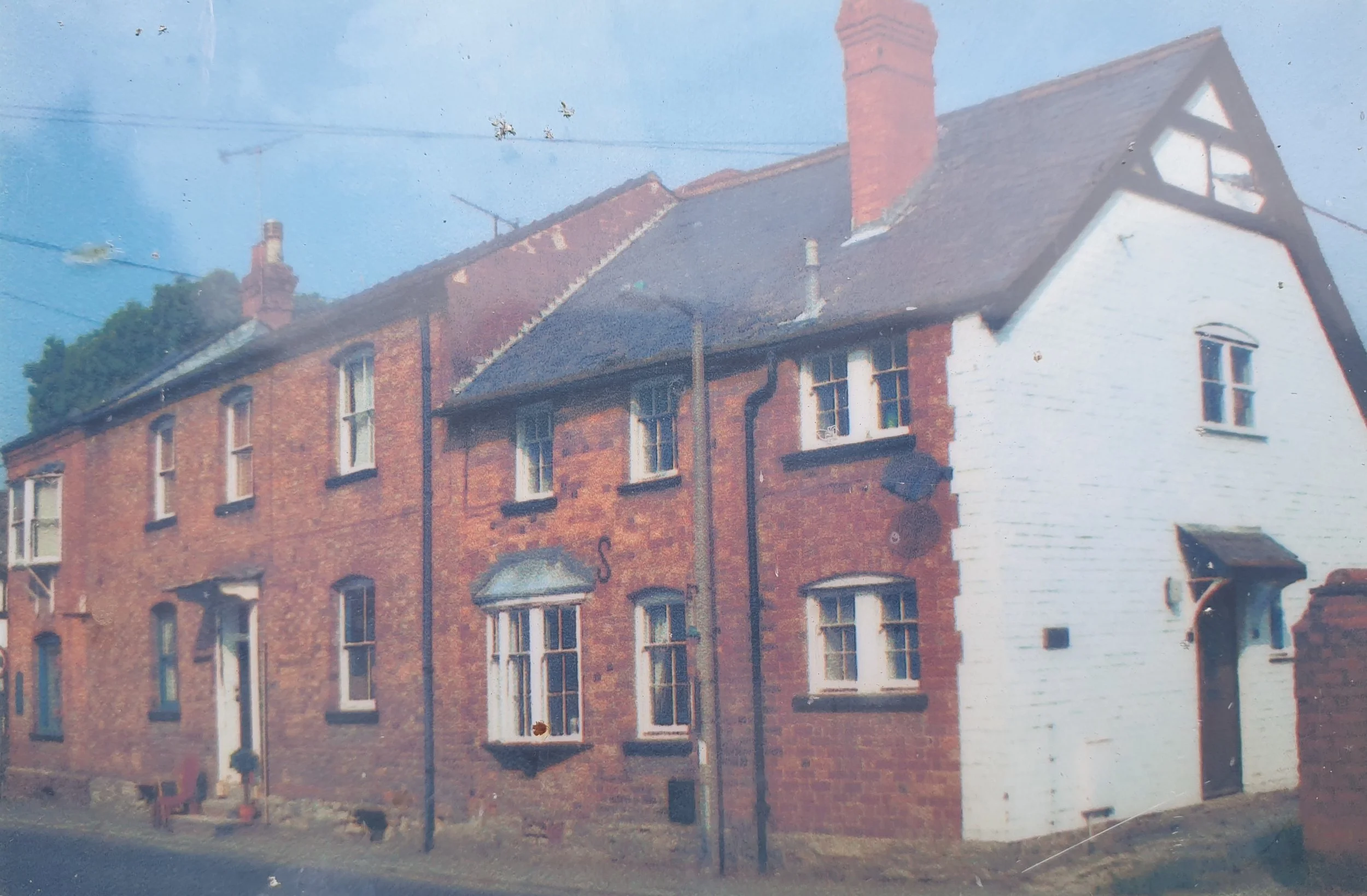
11. 3-4 Duppa Alms Houses, 1486-1502
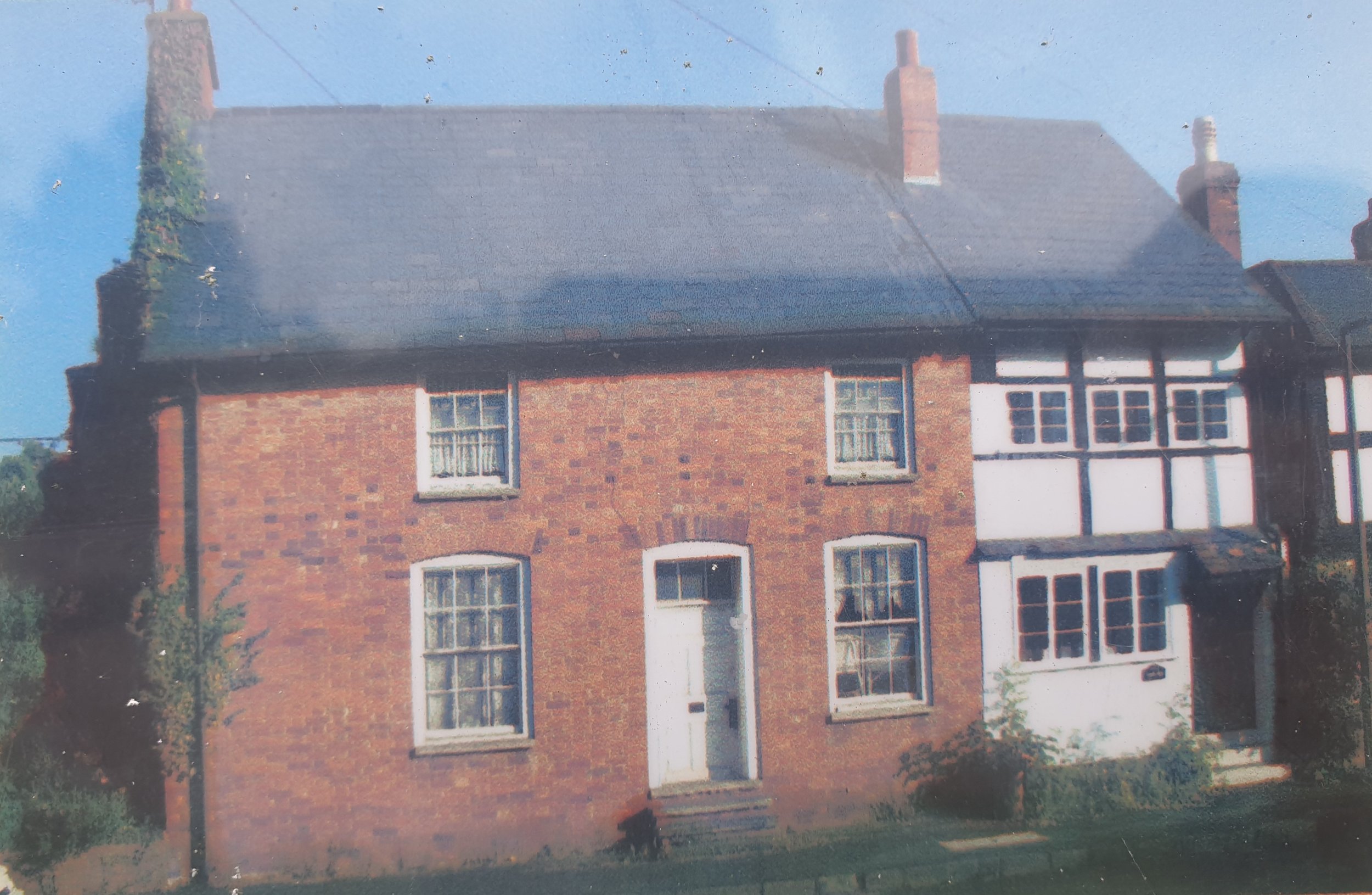
13. Westfields (East), 1488-1498
15. Glan Arrow Cottages, 1523
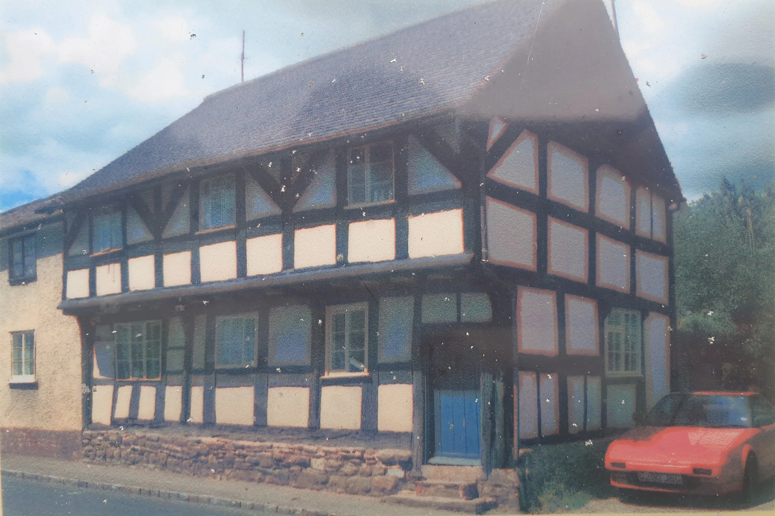
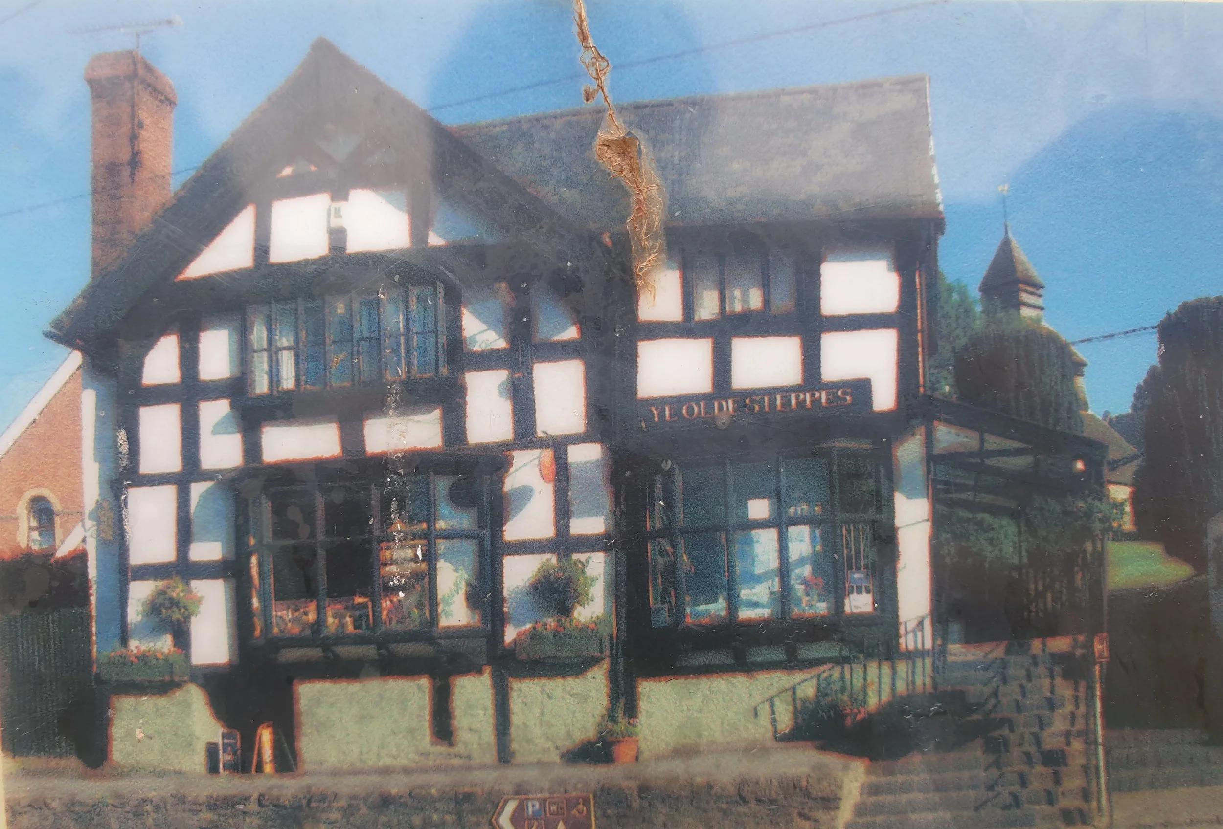
17. Old Steppes Stores, 1528-1564
19. Old Oak House, Spring 1551
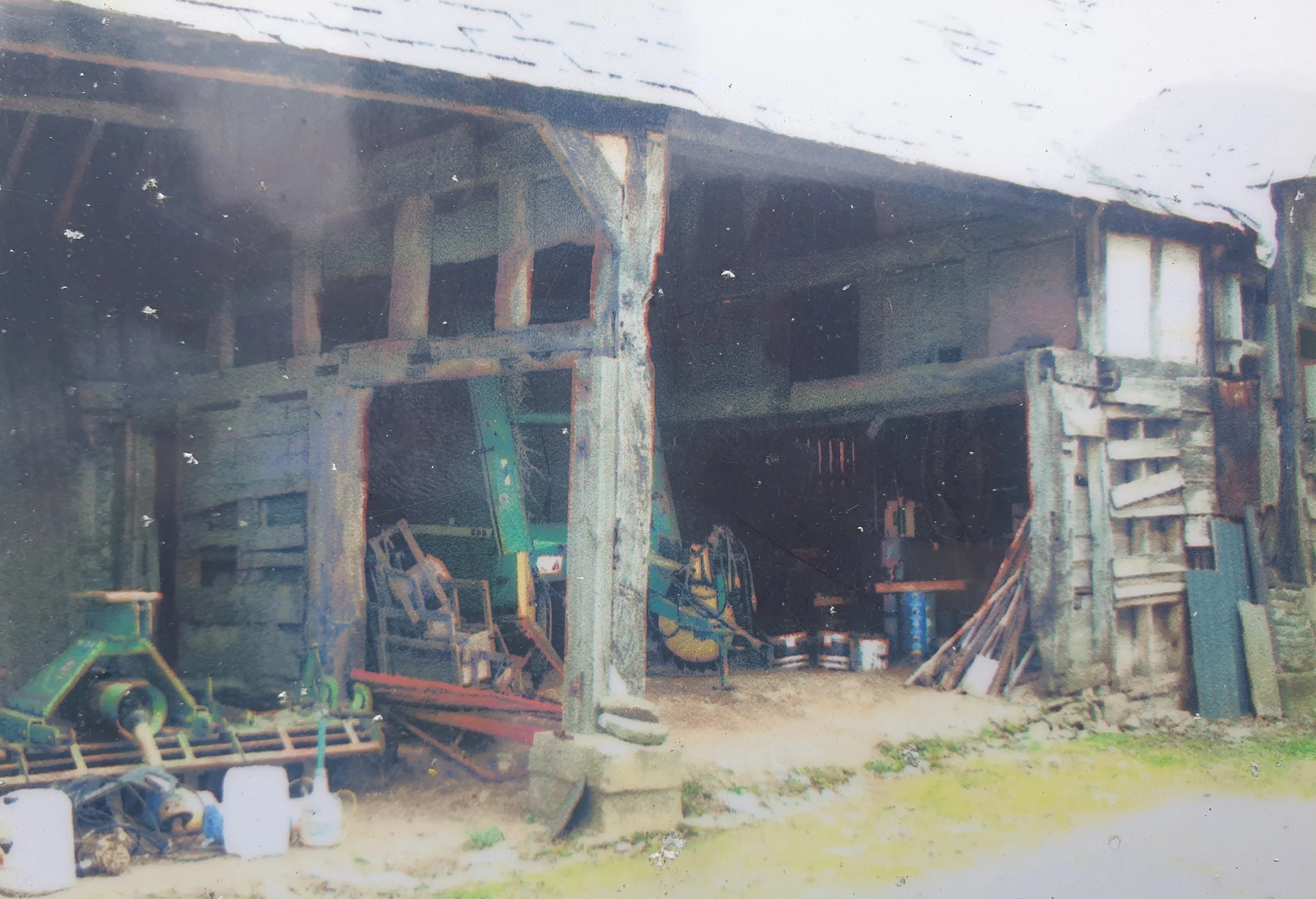
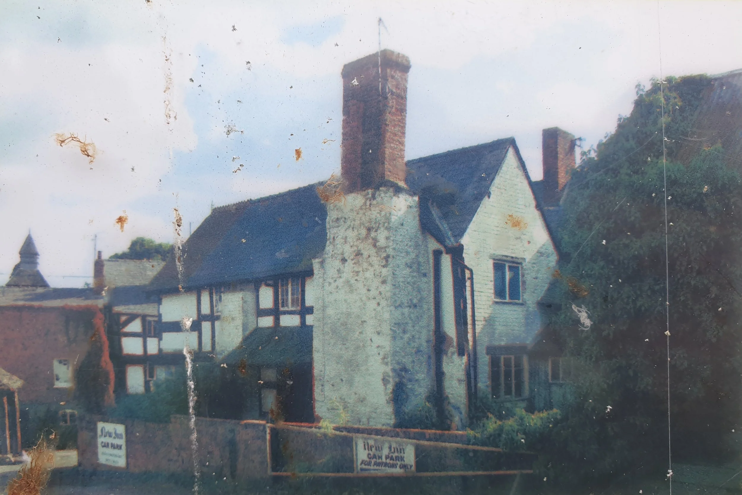
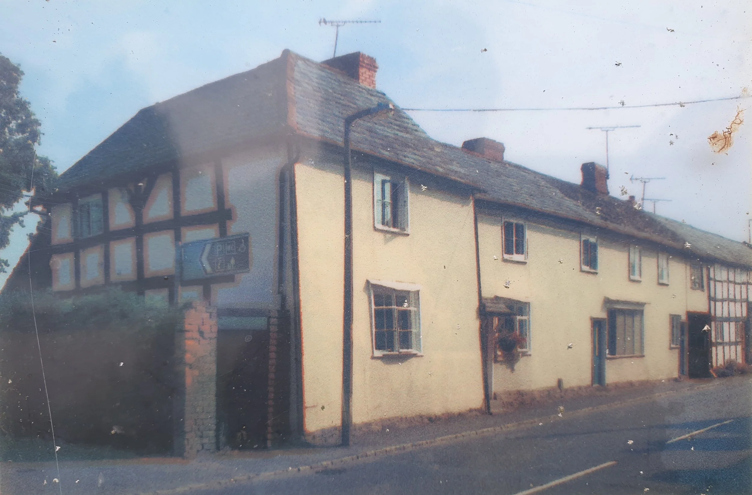
21. Court House Farm Barn, Winter 1591-1592
2. Fig Tree / Grosmont, Winter 1424
4. Gatehouse, Spring 1444
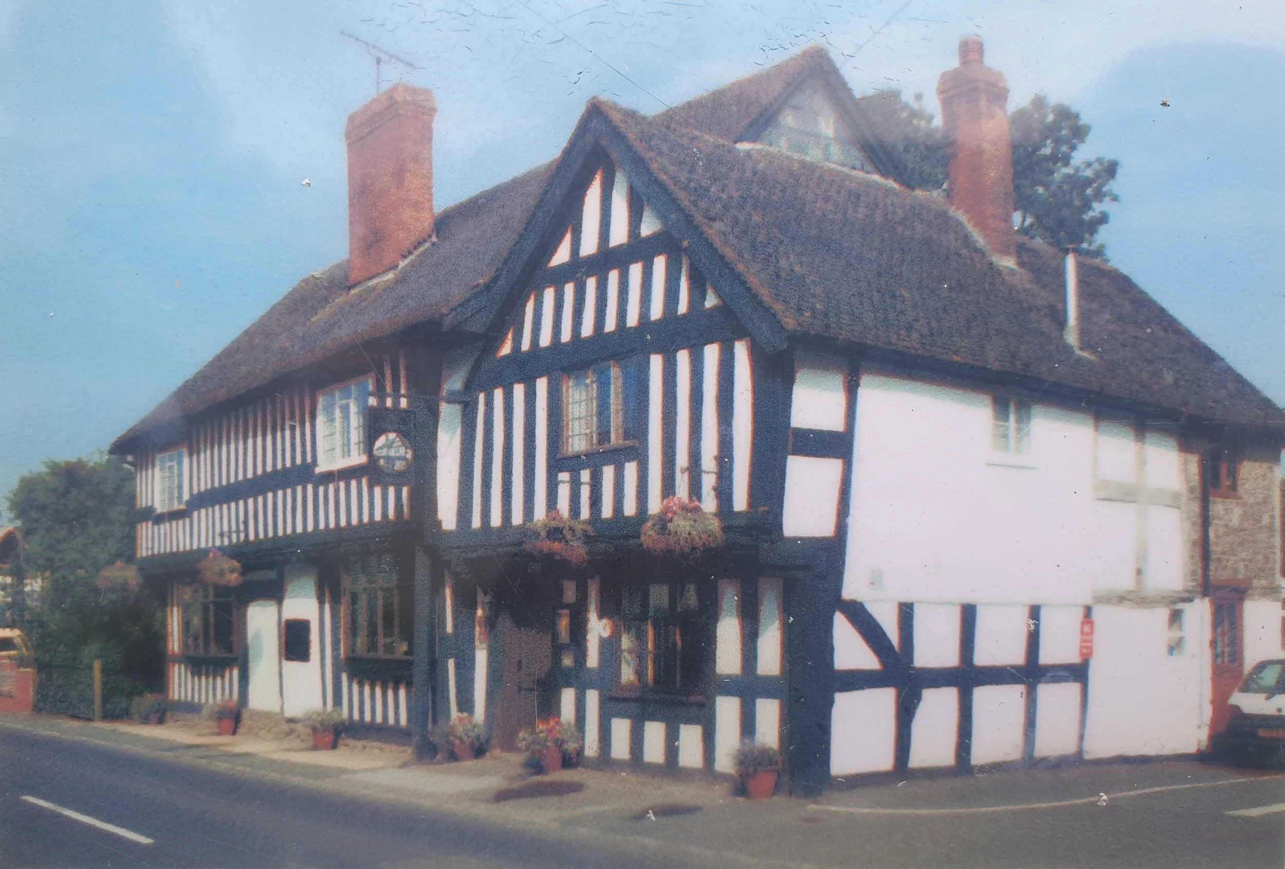
6. Swan House, Spring 1451
8. Kings House (cross wing), 1460-1483
10. Old Stores, 1474-1500
12. Church House, 1484-1502
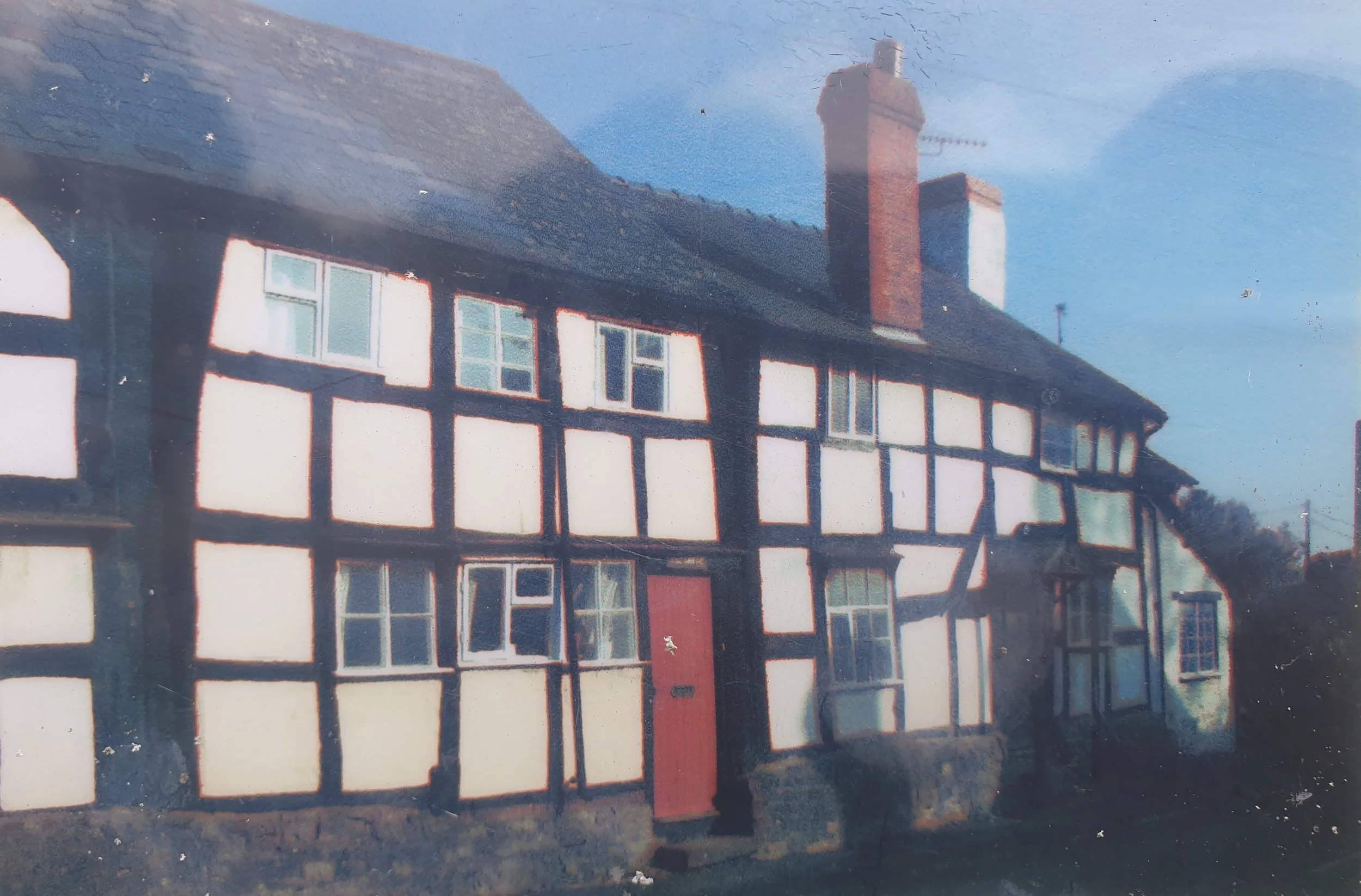
14. Market Hall, 1502-1538
16. Old Post Office (wing), 1538
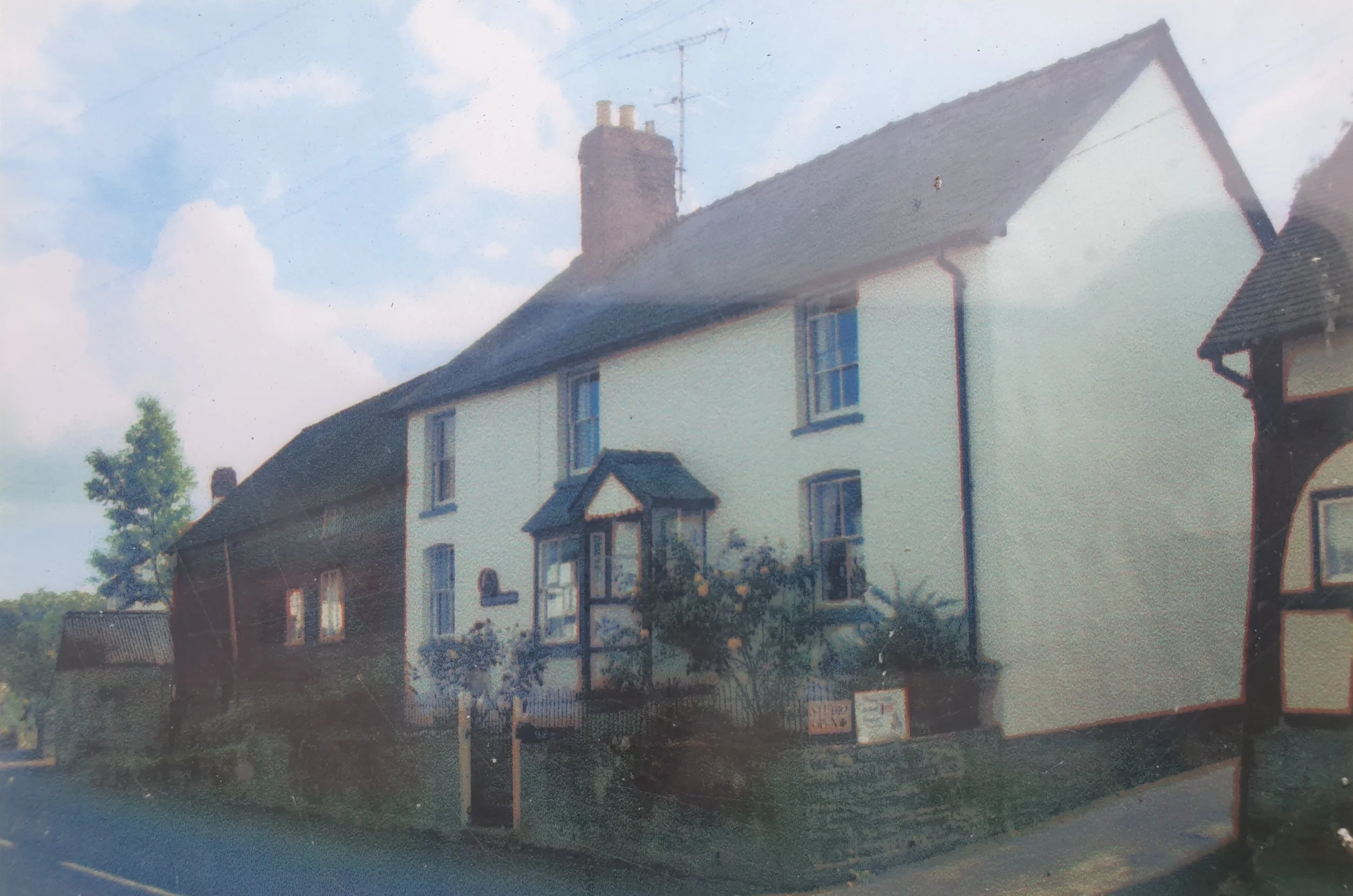
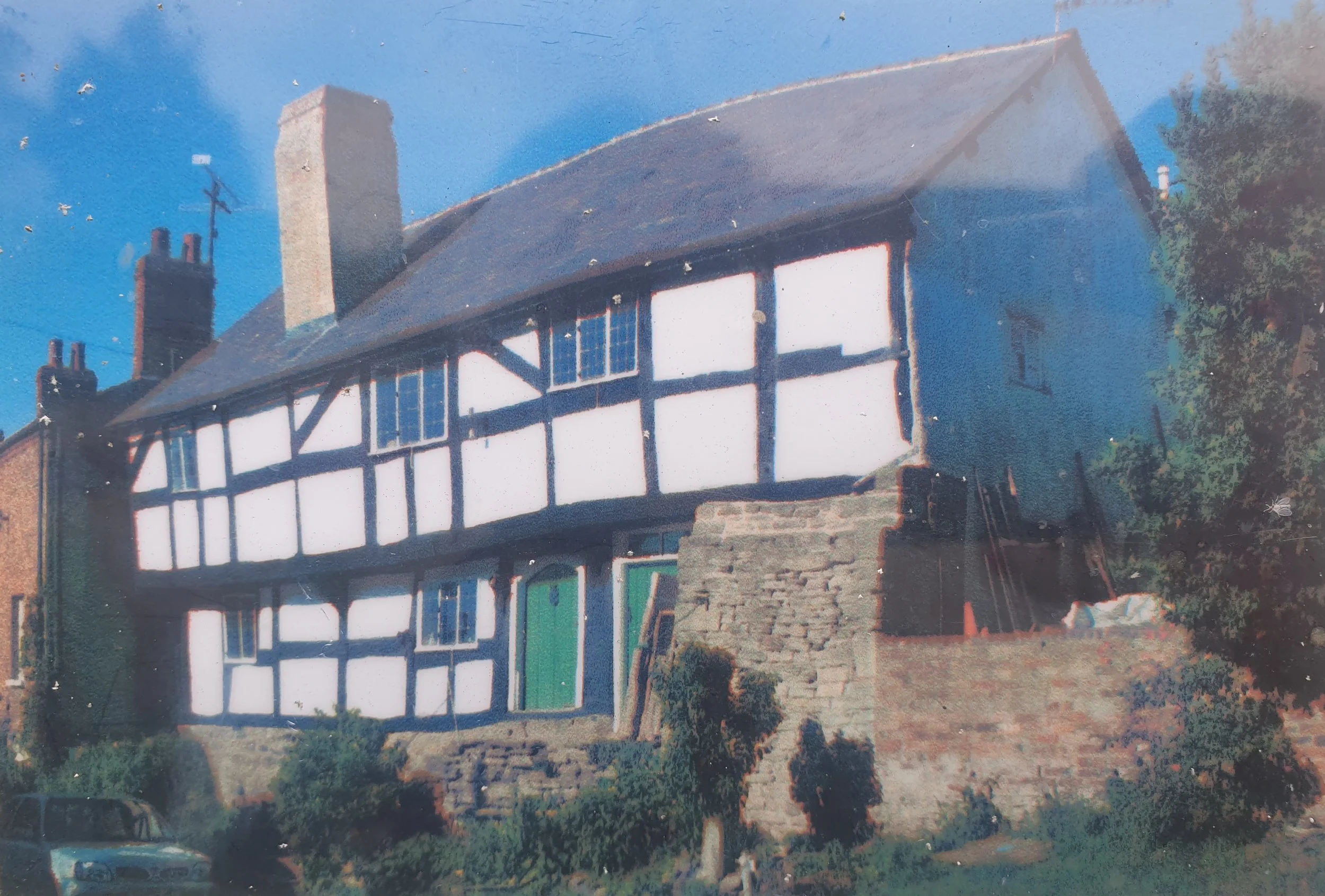
18. Westleigh, Winter 1546
20. 2 Bridge Street, Winter 1591-1592

Archaeological Excavation 2004
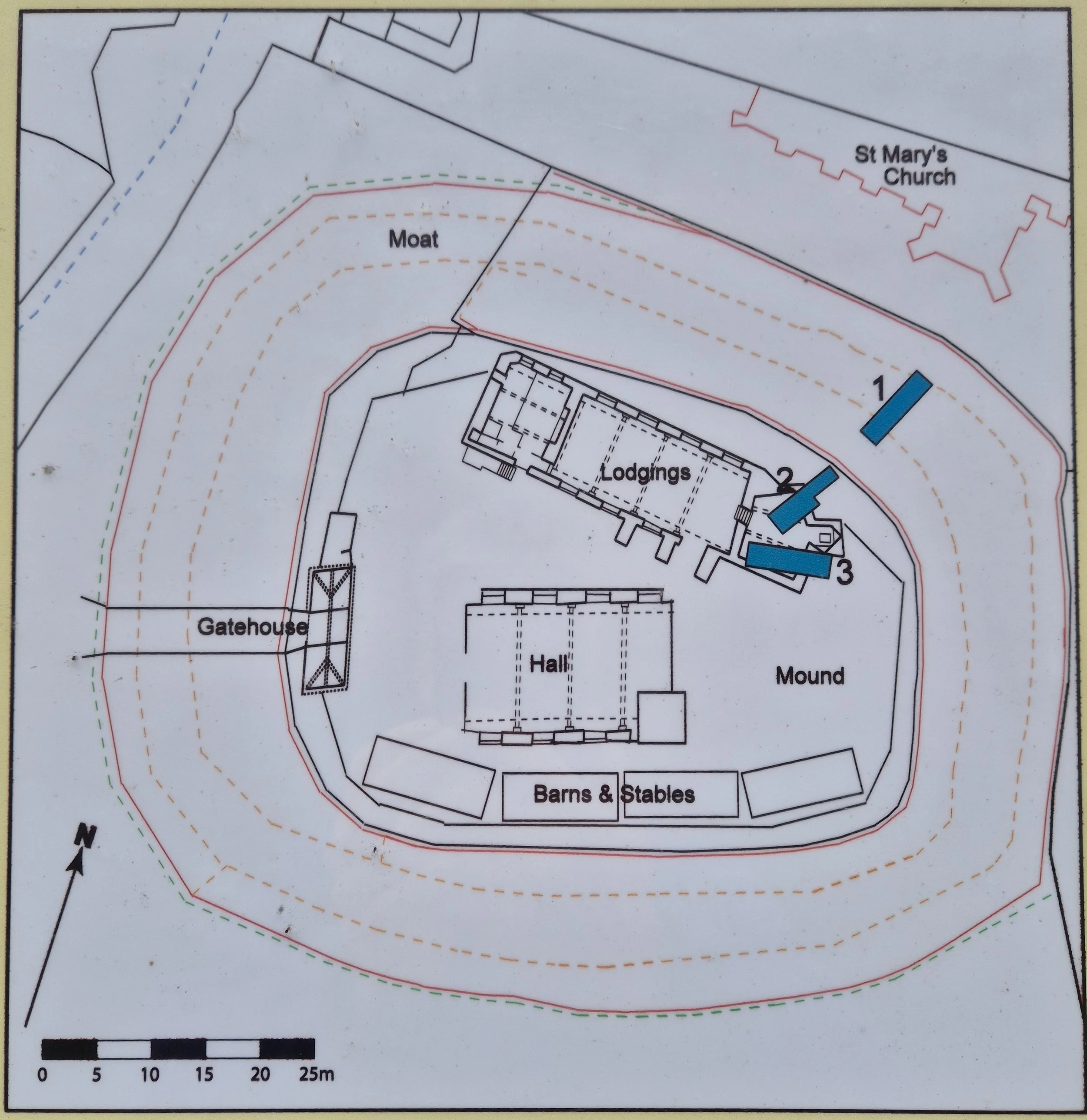
Moat and Mound. Court House Farm
During the Autumn 2004 the Moated Site at Court House Farm was excavated. At the same time, desk-based research was carried out to try to establish what buildings were on site and who lived there.
The moated site at Moat House Farm, a Scheduled Ancient Monument, consists largely of a large, irregular D-shaped mound 40m in width and 50m in length, surrounded by a wide, deep moat. The proximity of the site to the church suggests that it was occupied at a very early date. The earliest documentary reference to the site is in a royal grant 1222 in which it is described as the ‘castrum de Peneburg’.
Research suggests the mound probably dates back from the late 11th/early 12th century, although it is possible that there may have been occupation on the site during the Anglo-Saxon period, before the mound was built. It was the chief seat of the de Pemebridge family from 1090 to 1265 and was later held by the Mortimer family from 1265 until about 1425. Research also indicates that it was a favoured residence of the Mortimer family and that they probably rebuilt and altered the buildings on the site. The Archbishop of Canterbury and the Bishop of Hereford both stayed at Pembridge in the 1280s.
The function of the moated site also changed, from being a castle in the 12th century, it had become a fortified manor house by about 1300. The site was Crown property from 1461 until about 1600. The site was abandoned by the early 17th century. The remains of a ‘small keep or fortified castle’ were still visible there in 1655. By about 1800, the site had been completely cleared and was in use as an orchard.
Excavations in the moat revealed a large quantity of stone rubble, which may have been derived from the collapse of buildings standing on top of the mound. Surprisingly, no archaeological evidence was found of a stone perimeter or curtain wall at the top of the mound, nor was there evidence of a wooden palisade or rampart, although this could have been obliterated by 19th-19th century landscaping after the abandonment of the site. However, an exciting and very substantial find was made in one of the two trenched dug on top of the mound; namely the lower courses of two masonry walls running broadly N-S, the northernmost of which predates the southern.
The function of these two walls is uncertain, but it is unlikely they formed part of a defensive curtain wall as neither wall respects the edge of the mound. A more plausible explanation is that the two walls were probably part of the foundation of a substantial stone building, which abutted at an acute angle the edge of the mound. The function of this large stone building is uncertain, it possibly may have served as a range of lodgings or as a large ancillary structure such as a stable. In the second trench of the mound, evidence of two walls running NW-SE and SW-NE were found, framing an area containing a cobbled surface.
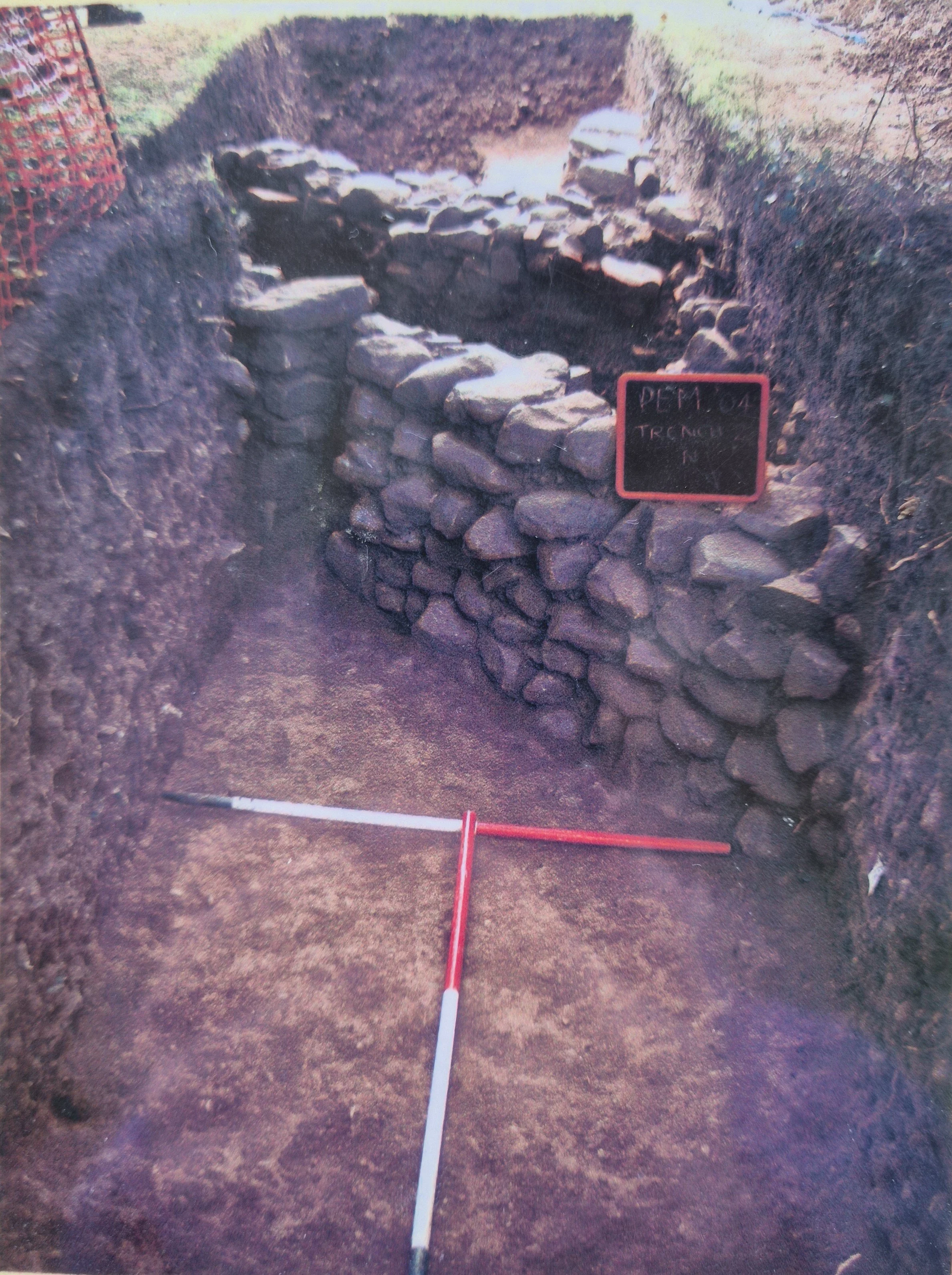
Above: Trench two showing the two walls running approximately north/south. Finds in this trench included pottery and a Roman tegula (roof tile).
Below: Detail of trench three. Note the thick layer of black ash. Other evidence of burning was found in this trench suggesting the building was once destroyed by fire.
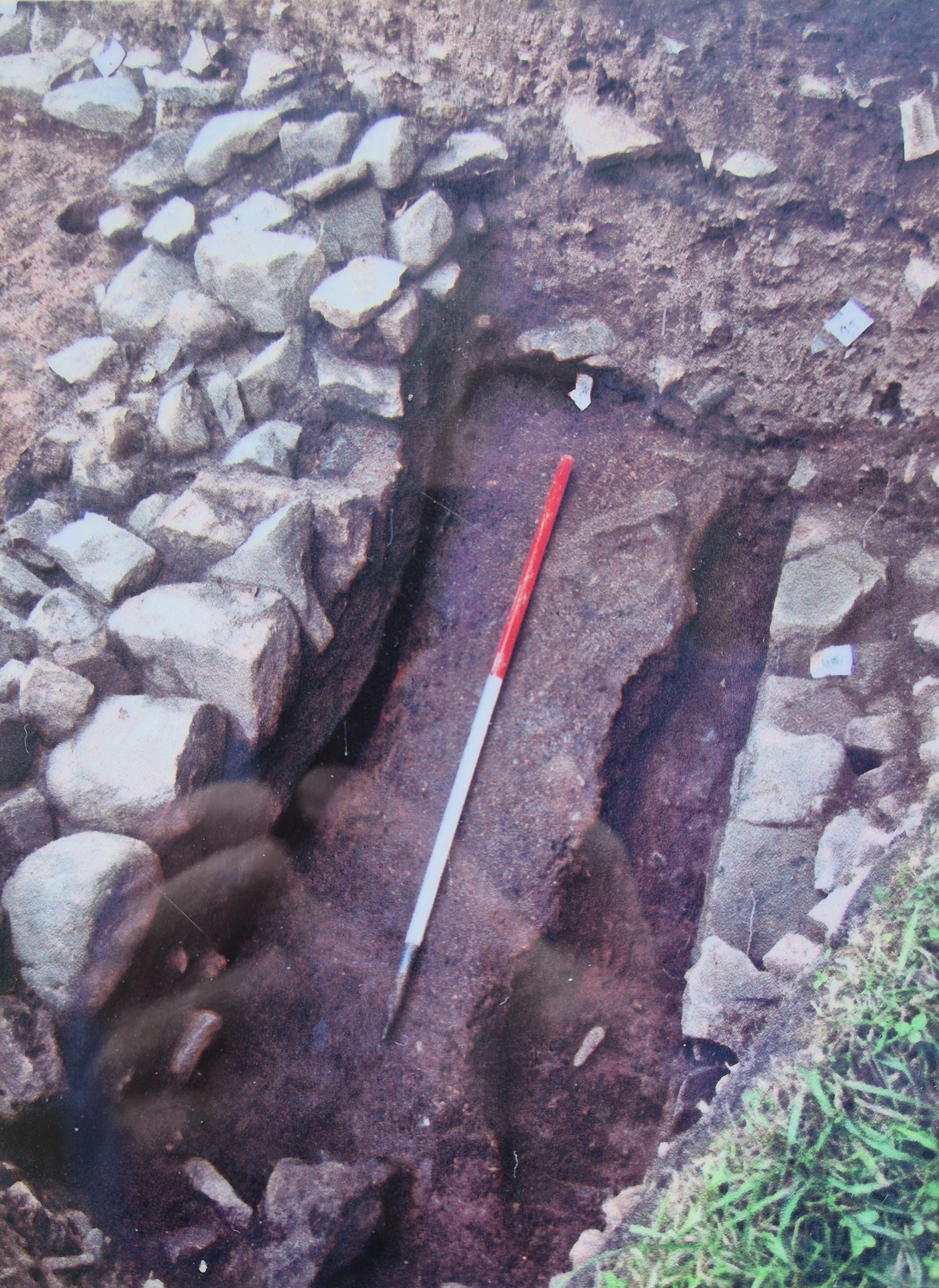
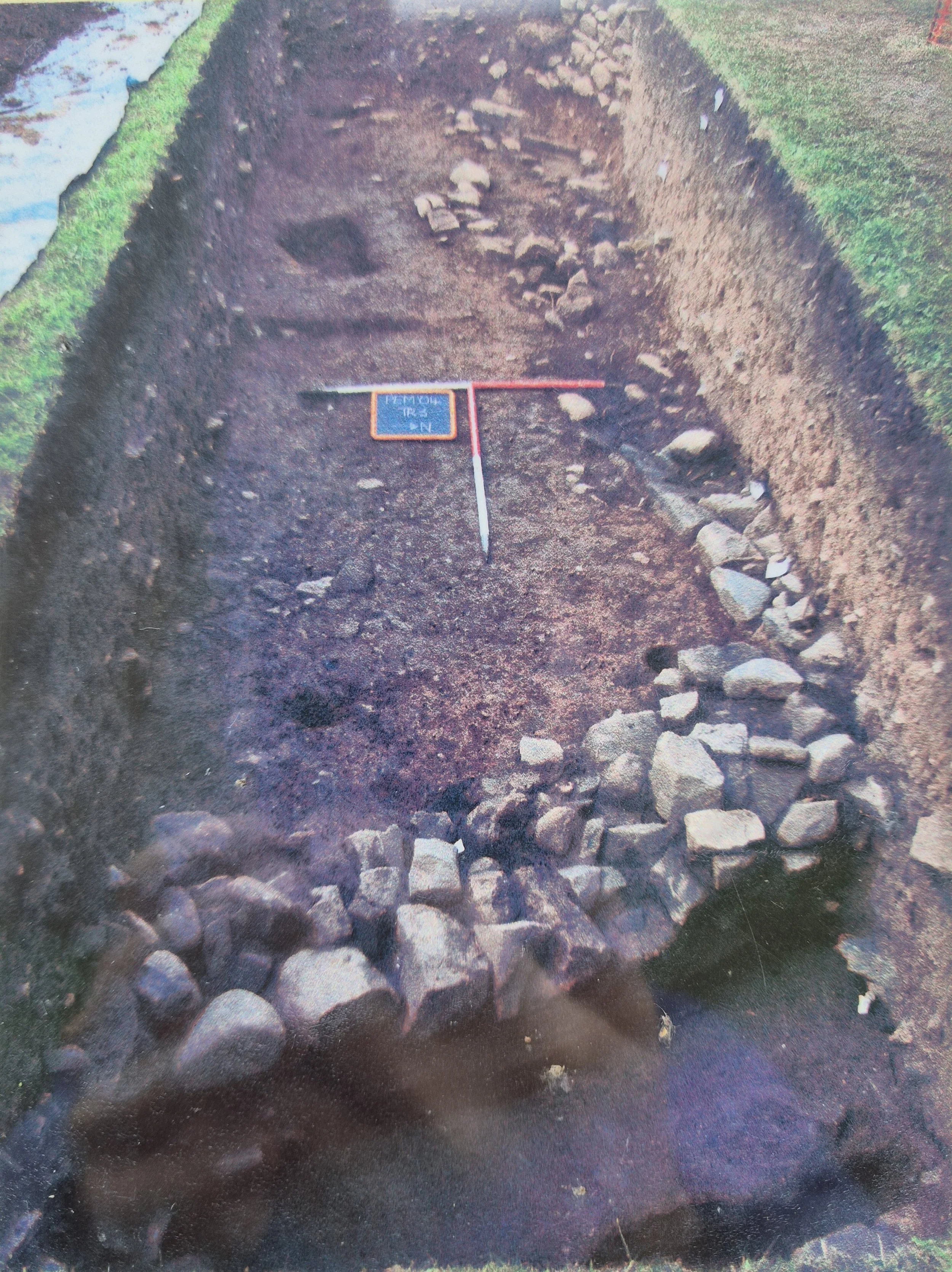
Above: General view of trench three showing the various evidence of walls. None of these appeared to line up with the walls in trench two.
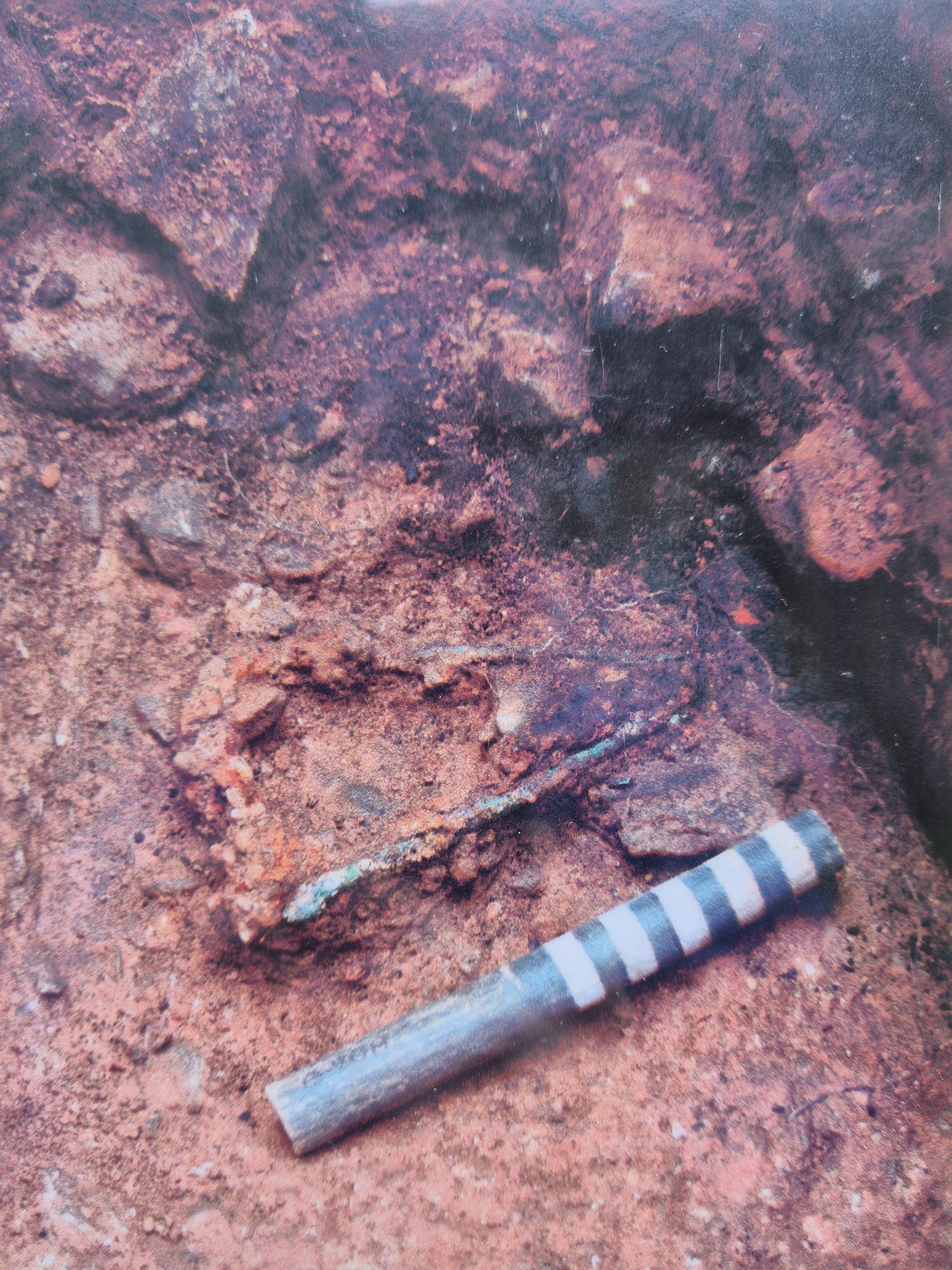
Below: Detail in trench three showing medieval stirrup prior to excavation. Again, note the evidence of burning.
Speculative drawing showing how the buildings may have been located on the site in its heyday and the accurate location of the three trenches, excavated during the Autumn of 2004 by Border Archaeology Limited, Leominster with the assistance of the villagers of Pembridge.
This was a community project and we are grateful to all the amateur ‘diggers’ who took part with special thanks to the staff and children at Pembridge Primary School.

This project is part-financed by the European Union (EAGGF) and DEFRA through Herefordshire Rivers LEADER+ Programme.